
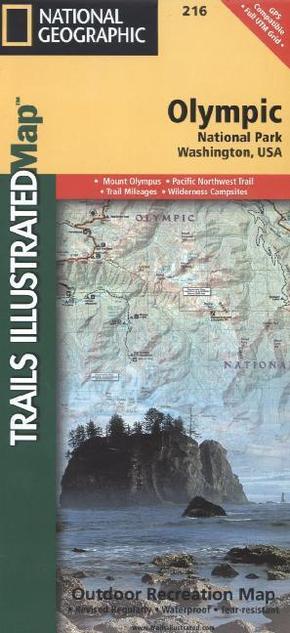
National Geographic Trails Illustrated Map Olympic National Park - Topographic Map. Waterproof. Tear-resistant. 1 : 100.000
Reduzierte Artikel in dieser Kategorie

| Verlag | National Geographic Maps |
| Auflage | 2012 |
| Format | 17,2 x 23,5 x 0,5 cm |
| Polychrome print. Folded | |
| Gewicht | 96 g |
| Artikeltyp | Karte |
| Reihe | National Geographic Trails Illustrated Map 216 |
| ISBN-10 | 1566954029 |
| EAN | 9781566954020 |
| Bestell-Nr | 56695402UA |
Olympic Nationalpark inkl. Olympus, Tshletshy Ridge, Hurrican Ridge, Huelsdonk Ridge, Bailey Range, camping areas, facilities, ranger stations, nature trails, waterfalls, boat launches, and much more. Also included are the Mount Skokomish Wilderness, Ozette Lake, Lake Pleasant, Lake Crescent, Lake Mills, and Olympic National Forest
Klappentext:
National Geographic's Trails Illustrated Maps are the most detailed and up-to-date topographic recreation maps available for US National Parks, National Forests and other popular outdoor recreation areas. A necessity for exploring the outdoors, each map is printed on waterproof, tear-resistant material. They also contain key safety and contact information, GPS and compass coordinates, Leave No Trace ethical guidelines and hundreds of points-of-interest, including scenic viewpoints, campgrounds, boat launches, swimming areas, marine sanctuaries and wildlife refuges.