
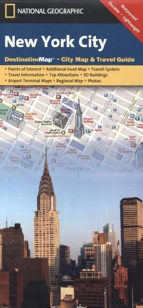
National Geographic DestinationMap New York City - City Map & Travel Guide. Points of Interest, Additional Inset Map, Transit System, Travel Information, Top Attraction, 3D Buildings, Airport Terminal Maps, Regional Map, Photos. Waterproof, Durable, Ligh
Reduzierte Artikel in dieser Kategorie

Produktdetails
| Verlag | National Geographic Maps |
| Auflage | 2012 |
| Format | 10,5 x 22,5 x 0,5 cm |
| Polychrome print | |
| Gewicht | 44 g |
| Artikeltyp | Karte |
| Reihe | National Geographic DestinationMap |
| ISBN-10 | 1597750697 |
| EAN | 9781597750691 |
| Bestell-Nr | 59775069UA |
Produktbeschreibung
City Map inkl. Nebenkarte 'Lower Manhatten & Midtown', U-Bahn-Plan, Flughafen-Plan LaGuardia, John F. Kennedy und Neward Liberty airports
Klappentext:
CityDestinationMaps blend urban guidebook information with easy to read street maps, complete with 3D buildings. The maps are printed on waterproof, tear-resistant material that's lightweight yet very durable. Double-sided with beautiful photos and detailed travel information, in addition to the easy-to-read map on the front, the back of this New York City map includes: Regional map; Points of interest; Inset maps of Lower Manhattan and Midtown; Subway map; Airport diagrams for LaGuardia, John F. Kennedy, and Neward Liberty airports; Multi-language legend.
Mehr Angebote zum Thema