
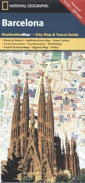
National Geographic DestinationMap Barcelona - City Map & Travel Guide. Points of Interest, Additional Inset Map, Transit System, Travel Information, Top Attraction, 3D Buildings, Airport Terminal Maps, Regional Map, Photos. Waterproof, Durable, Ligh
Reduzierte Artikel in dieser Kategorie

Produktdetails
| Verlag | National Geographic Maps |
| Auflage | 2012 |
| Format | 10,6 x 22,4 x 0,2 cm |
| Polychrome print. Folded | |
| Gewicht | 40 g |
| Artikeltyp | Karte |
| Reihe | National Geographic DestinationMap |
| ISBN-10 | 1597754579 |
| EAN | 9781597754576 |
| Bestell-Nr | 59775457UA |
Produktbeschreibung
City Map inkl. Nebenkarte 'Ciutat Vella, Flughafen-Plan Transportinformationen; mehrsprachige Legende
Klappentext:
CityDestinationMaps blend urban guidebook information with easy to read street maps, complete with 3D buildings. The maps are printed on waterproof, tear-resistant material that's lightweight yet very durable - idea for travel. This Barcelona map is double-sided with beautiful photos and detailed travel information, including comprehensive road networks, local information and natural, historical and cultural places of interest such as the Guell Park, La Ramblas and Church of the Sacred Family.
Mehr Angebote zum Thema