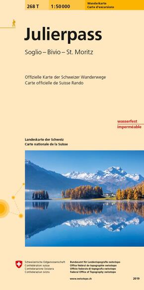


Landeskarte der Schweiz Julierpass - Bivio, Bergell, Oberengadin. Wanderkarte
Reduzierte Artikel in dieser Kategorie

Preisbindung aufgehoben3
2,99 €6,99 €3
2,99 €
Preisbindung aufgehoben3
4,99 €30,00 €3
4,99 €
Produktdetails
| Verlag | Bundesamt für Landestopografie Schweiz |
| Auflage | Oktober 2019 |
| Format | 11,1 x 0,8 x 22,0 cm |
| Mehrfarbendruck. Gefalzt | |
| Gewicht | 68 g |
| Artikeltyp | Karte |
| Reihe | Offizielle Karte der Schweizer Wanderwege |
| ISBN-10 | 3302302681 |
| EAN | 9783302302683 |
| Bestell-Nr | 30230268A |
Produktbeschreibung
The maps contain marked hiking trails, mountain hiking trails and alpine hiking trails as well as useful information such as public transport stops, points of interest, observation towers, secluded inns and car parks. SwitzerlandMobility's hiking routes are also marked.
Each map contains five attractive hiking suggestions by the Swiss Hiking Federation.
Mehr Angebote zum Thema
