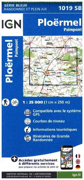
IGN Karte, Serie Bleue Ploermel, Paimpont - Compatible avec le système GPS. Courbes de niveau, Informations touristiques. Itinéraires de Grande Randonnée. Mit QR-Code. Mit QR-Code. 1:25000
Reduzierte Artikel in dieser Kategorie


Produktdetails
| Verlag | IGN Institut Geographique National |
| Auflage | 2016 |
| Format | 10,9 x 24,1 x 0,9 cm |
| Mehrfarbendruck. Gefalzt | |
| Gewicht | 93 g |
| Artikeltyp | Karte |
| Reihe | IGN topographische Karte 1:25T Série Bleue 1019SB |
| ISBN-10 | 2758535246 |
| EAN | 9782758535249 |
| Bestell-Nr | 75853524FA |
Produktbeschreibung
Leider keine Beschreibung verfügbar.
Mehr Angebote zum Thema