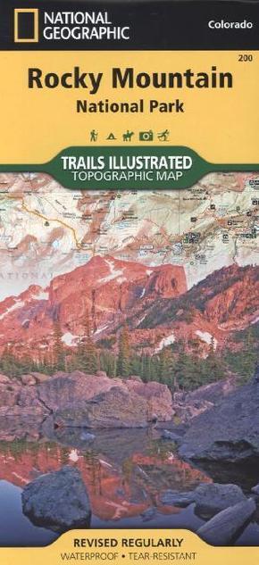
National Geographic Trails Illustrated Map Rocky Mountain National Park - Topographic Map. Rocky Mountain Nationalpark inkl. Arapaho und Roosevelt National Forest, Never Summer Wilderness, Arapaho National Erholungsgebiet. 1 : 50.000
Reduzierte Artikel in dieser Kategorie

Preisbindung aufgehoben3
24,99 €50,00 €3
24,99 €
Produktdetails
| Verlag | National Geographic Maps |
| Auflage | 2012 |
| Format | 12,5 x 23,4 x 0,3 cm |
| Polychrome print. Folded | |
| Gewicht | 94 g |
| Artikeltyp | Karte |
| Reihe | National Geographic Trails Illustrated Map 200 |
| ISBN-10 | 1566953421 |
| EAN | 9781566953429 |
| Bestell-Nr | 56695342UA |
Produktbeschreibung
Rocky Mountain Nationalpark inkl. Arapaho und Roosevelt National Forest, Never Summer Wilderness, Arapaho National Erholungsgebiet
The Rocky Mountain National Park Trails Illustrated map is the most comprehensive recreational map for Colorado's Rocky Mountain National Park. Coverage includes Rocky Mountain National Park, Arapaho and Roosevelt National Forest, Never Summer Wilderness, Arapaho National Recreation Area, and the cities of Granby and Estes Park. The map's shaded relief makes it easy to see the lay-of-the-land, and it has a full UTM grid so you can use it with your GPS. A necessity for exploring in the outdoors, this map is also printed on waterproof, tear-resistant material.
Mehr Angebote zum Thema
