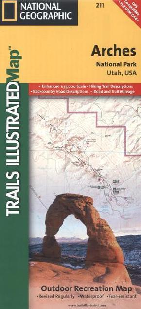
National Geographic Trails Illustrated Map Arches National Park Utah, USA - Outdoor Recreation Map. Mit neuen Wanderwegen und Campingplätzen
Reduzierte Artikel in dieser Kategorie

Preisbindung aufgehoben3
3,99 €6,99 €3
3,99 €
Preisbindung aufgehoben3
4,99 €30,00 €3
4,99 €
Produktdetails
| Verlag | National Geographic Maps |
| Auflage | 2012 |
| Format | 11,0 x 0,5 x 23,4 cm |
| Polychrome print. Folded | |
| Gewicht | 95 g |
| Artikeltyp | Karte |
| Reihe | National Geographic Trails Illustrated Map |
| ISBN-10 | 1566953278 |
| EAN | 9781566953276 |
| Bestell-Nr | 56695327UA |
Produktbeschreibung
This map includes Arches National Park, The Highlands, Little Valley, Devils Garden, Lost Spring Canyon Wilderness area, Negro Bill Wilderness area, Scott M. Matheson Wetlands Preserve, Cache Valley, Delicate Arch, Broken Arch, Dark Angel, Double Arch, and more. The map also includes the Colorado River, the Windows Section, Petrified Dunes, and fascinating information about the park's geology, archaeology, history, and culture. The map has been updated to reflect road closings, new trails, and campground relocation, and more. Includes UTM grids for GPS.
Mehr Angebote zum Thema
