
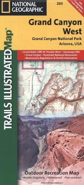
National Geographic Trails Illustrated Map Grand Canyon West - Outdoor Recreation Map. Grand Canyon National Park Arizona, USA. 1 : 90.000
Reduzierte Artikel in dieser Kategorie

Produktdetails
| Verlag | National Geographic Maps |
| Auflage | 2012 |
| Format | 9,9 x 23,6 x 0,3 cm |
| Polychrome print. Folded | |
| Gewicht | 96 g |
| Artikeltyp | Karte |
| Reihe | National Geographic Trails Illustrated Map 263 |
| ISBN-10 | 1566954967 |
| EAN | 9781566954969 |
| Bestell-Nr | 56695496UA |
Produktbeschreibung
Komplett neudesigned, verbesserter Maßstab und Infos zu den meistbesuchten Touristenattraktionen
Klappentext:
National Geographic's Trails Illustrated Maps are the most detailed and up-to-date topographic recreation maps available for US National Parks, National Forests and other popular outdoor recreation areas. A necessity for exploring the outdoors, each map is printed on waterproof, tear-resistant material. They also contain key safety and contact information, GPS and compass coordinates, Leave No Trace ethical guidelines and hundreds of points-of-interest, including scenic viewpoints, campgrounds, boat launches, swimming areas, marine sanctuaries and wildlife refuges.
Mehr Angebote zum Thema